Description
Instead of country names, it might be required to use ISO country codes instead. Strategy Web comes with ESRI Web maps out of the box and it is possible to add the option to use ISO country codes following the steps below:
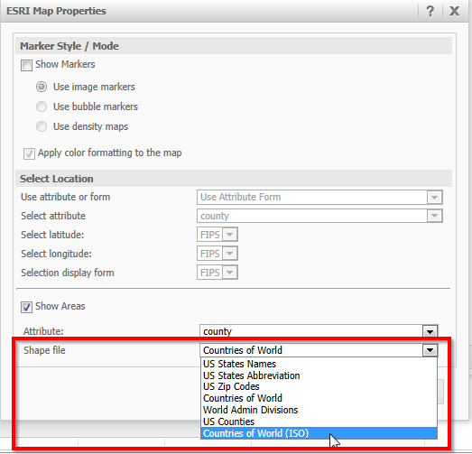
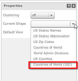
After the modification has been applied, a new layer can be selected when using ESRI web maps in Strategy Web (“Countries of World (ISO)”).
Report Services Document ESRI Map Properties:
ESRI Area Map properties in Visual Insight:
ESRI Area map rendering countries with ISO country codes:
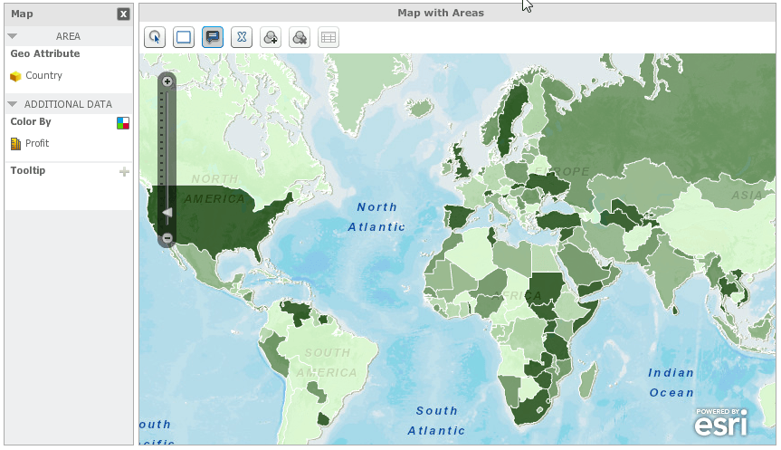
This new layer accepts geo attributes with ISO country codes and retrieves corresponding coordinates from ESRI web maps server for visualization in a Strategy Analysis or Report Services document.
KB202940
