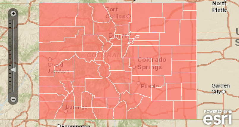
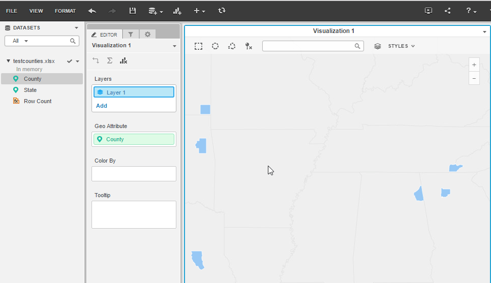
Starting in version 9.4.1 HF6 Strategy supports the plotting of geoattributes as areas in an ESRI Map with Areas visualization or widget. Unites States counties cannot be uniquely identified by their name because they can be repeated across different states. To correctly configure the Strategy environment to plot United States counties follow the procedure below.
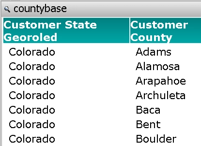
There are two ways to make County and State data available to the Strategy mapping engine. Identify the data feeding source below and follow the technote to prepare the data for mapping purposes:
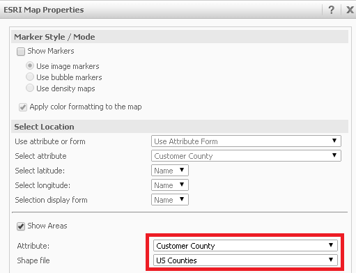
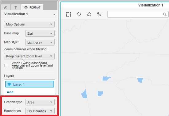
Once the procedure above has been followed, identify the mapping resource that will be used to present data to the user. Notice that this Technical Note only covers a Cloud Map configuration, therefore, only flash mode documents and Visual Insight Dashboards are available.
KB210392
