SYMPTOM:
In a Visual Insight dashboard in Strategy Web 9.4.1 Hotfix 6, when importing Geographic Names to an ESRI map, the "Map with Areas" visualization will generate the correct geographical data for States of the United States by matching the element names provided to the State.csv file that comes with every installation of Strategy Web 9.4.1.
For instance, when using Data Import, if the Excel file imported has the full US State names as seen in the image below:

the “Map with Areas” visualization will show the expected areas as seen below:
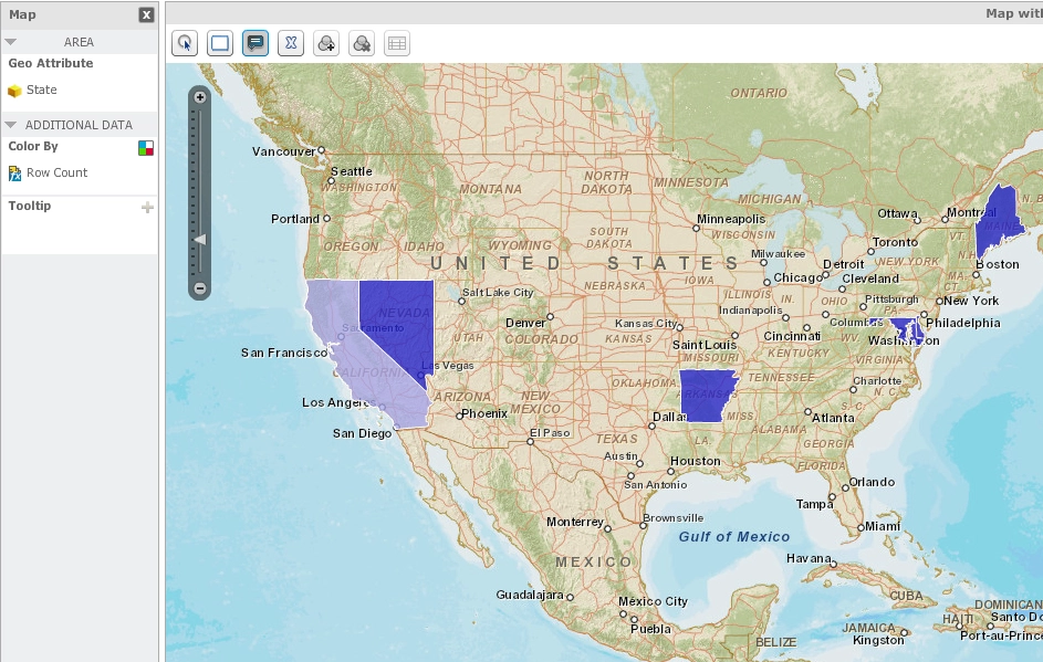
However, if the imported Excel file has the abbreviations for the geographical attribute instead of the full name, the “Map with Areas” visualization fails to show any data.
State abbreviations only:

The “Map with Areas” visualization fails to show any data.
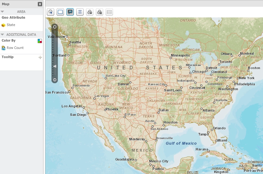
This occurs even when the matching State.csv file contains a column for the state abbreviations.
The default folder path of the “State.csv” file is shown below:

C:\Program Files (x86)\MicroStrategy\Intelligence Server
