SYMPTOM:
After a grid report is configured to use an ESRI map visualization a ‘No mappable attributes present on the report’ message shows up.

The ESRI Map properties in correctly configured to use an area type attribute such as Region or State.
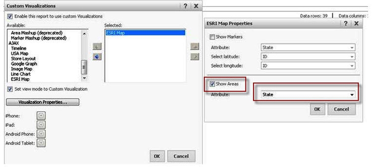
Note: If the developer unchecks both options, no error message is shown but only the map is displayed with no information on it.
CAUSE:
The base map used within the <bm> tag/node and the map layer under <ml> use different units. For example, the esriConfig.xml showed:
A base map using esriDecimalDegrees
http://server.arcgisonline.com/ArcGIS/rest/services/ESRI_StreetMap_World_2D/MapServer

While the map layer uses: esriMeters
http://egis.hud.gov/ArcGIS/rest/services/ofpm/HudRegions/MapServer
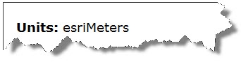
Additionally, the base map is dynamic. The esriConfig.xml needs to be modified to support dynamic base maps.
ACTION:
To solve this issue try using a map layer or a base map with matching units. For example the following base map uses also esriMeters:
http://server.arcgisonline.com/ArcGIS/rest/services/World_Street_Map/MapServer
To use the dynamic base map it is necessary to add a ‘isDyn’ parameter to the esriConfig.xml file. Here is an example on how to add this parameter to the esriConfig.xml

After these changes have been applied the ESRI Web visualization should display with no issues.

KB43344
