Starting with the release of Strategy ONE (March 2024), dossiers are also known as dashboards.
Troubleshooting
Mapbox is not correctly mapping Canadian cities
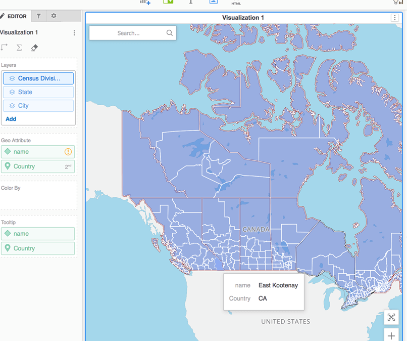
When attempting to plot individual Canadian cities in Strategy 10.10 and above you will notice that instead, it will plot the regions of these cities as shown below:
Steps to reproduce
1. Create a dossier and add a Mapbox map (geospatial service visualization)
2. Add data that includes Canadian cities
3. Notice Mapbox plots the regions instead of cities
Why is this happening?
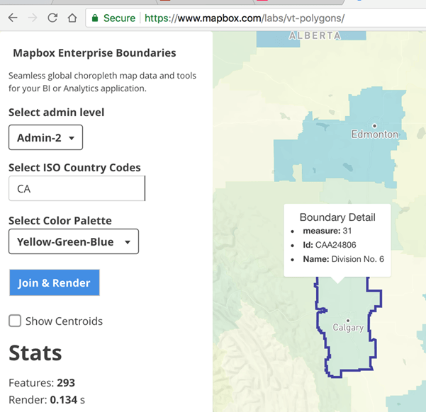
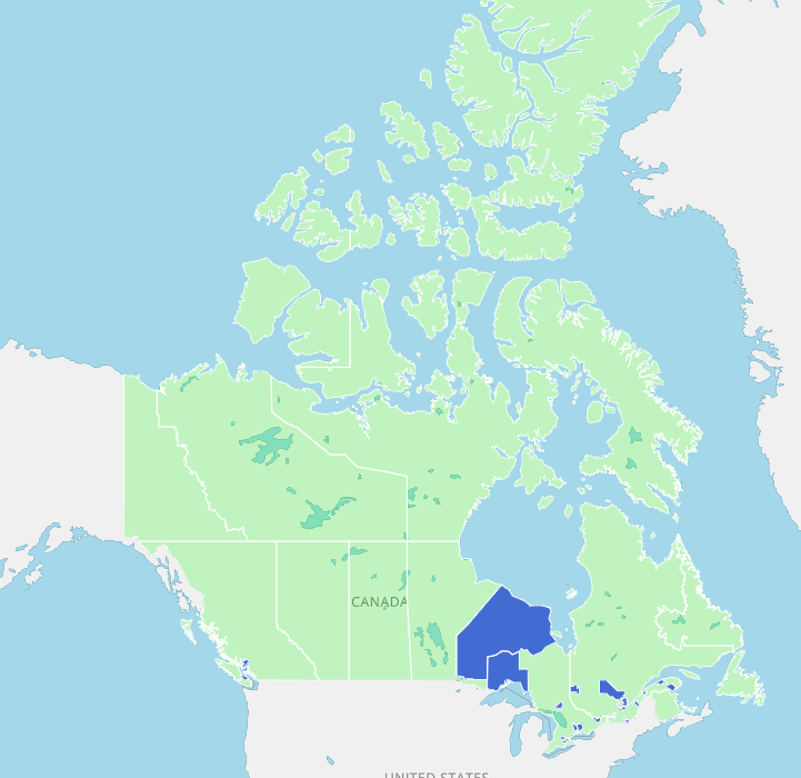
The issue stems from how Mapbox handles individual cities for Canadian provinces. It does not have individual cities and simply census divisions:
Status
N/A see below
Next Steps
This has been deemed a limitation of Mapbox and not with Strategy.
Please raise a ticket with Mapbox as these features are being updated by the Mapbox team.
Third Party Software Installation: WARNING:
The third-party product(s) discussed in this technical note is manufactured by vendors independent of Strategy. Strategy makes no warranty, express, implied or otherwise, regarding this product, including its performance or reliability.
