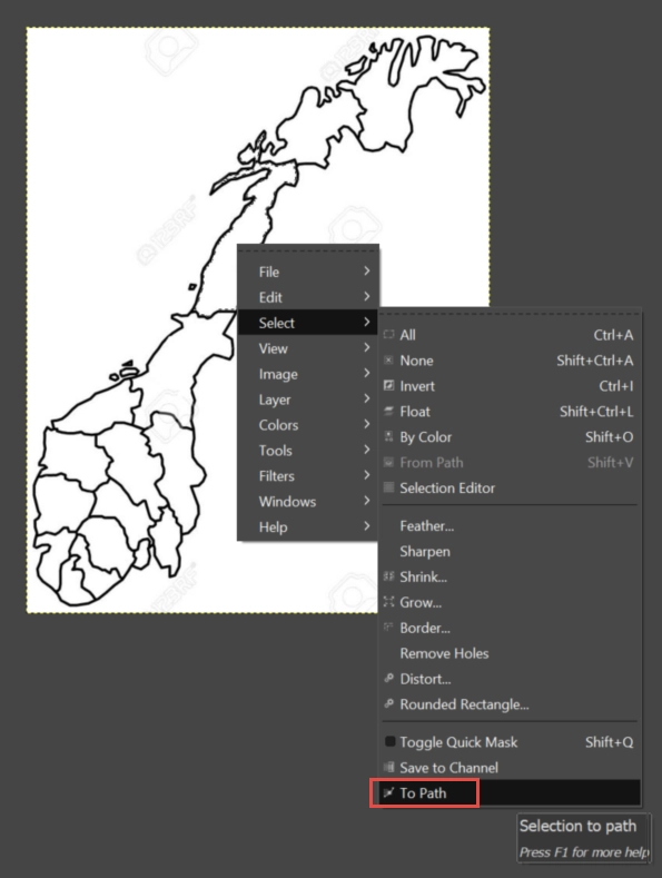
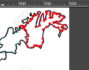
The Image Layout visualization is recommended for uses such as rendering geographical regions, interior of a store or the layout of seats in a theater. If the shapes are simple rectangles it is easy to convert the image into HTML map using various online tools - it requires manually clicking on corners of polygons. If the shapes are more complicated (like the States of th US) using this online tools will be time consuming and will not bring good quality HTML maps. In that case a tool with automatic shape recognition will be handy - think about Magic Wand tool in Photoshop. GIMP is a free graphics editor that gives you this capability with a special script. The manual attached to this post contains step-by-step instructions on how to convert an image into HTML map with automatic shape recognition.
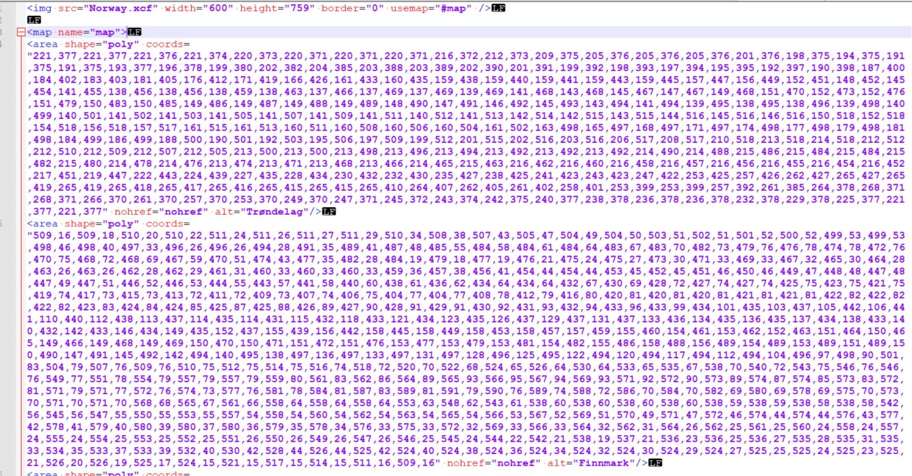
HTML code (polygon coordinates) produced by this GIMP script might be a bit bloated. That means it may contain duplicate coordinates - even 30 % of coordinates can be duplicated. This may slow down the performance of the Layout Image visualization. In order to remove duplicates I wrote a simple Python script - it's attached to this post.
